 Planning in a bushfire prone area
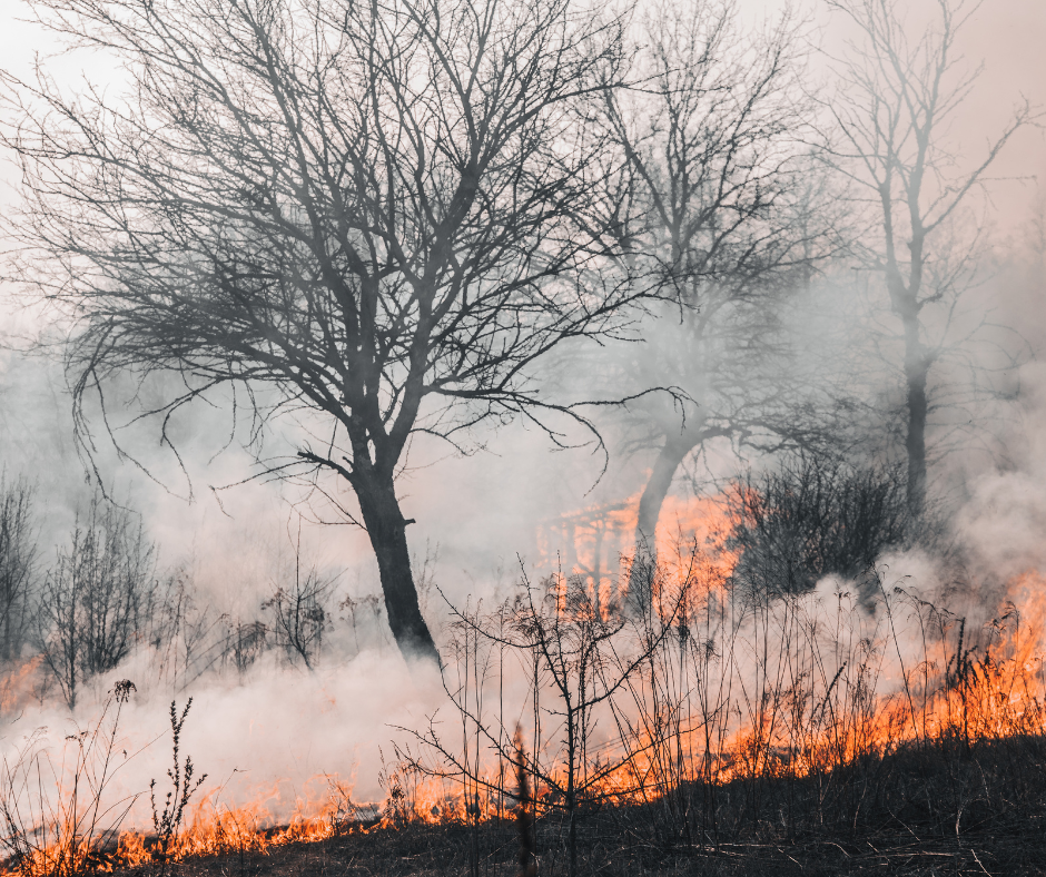
Large areas of the Shire of Ravensthorpe are prone to bushfires due to topography, vegetation and climate.
In 2015 the Western Australia Government released a suite of reforms in response to the Keelty Report 2011 that apply across the state and elevate bushfire issues to the highest level of planning policy.
The Department of Fire and Emergency Services (DFES), Building Commission and Western Australian Planning Commission (WAPC) collectively released:
- State Planning Policy 3.7 ‘Planning in Bushfire Prone Areas’
- Amendments to Planning Regulations
- Amendments to Building Regulations
- An order by the Fire & Emergency Services Commissioner designating bushfire prone areas
- Published the Map of Bushfire Prone areas
- Published the Guidelines for Planning in Bushfire Prone Areas
Approval Process
The first step is to check the state-wide mapping designating 'bushfire prone' areas, this can be found here.
Then, if any part of your property is designated 'bushfire prone:
- Review the requirements of the Shire's Local Planning Policy 15 - Developing in a Bushfire Prone Area;
- If you are located in Ravensthorpe or Hopetoun town sites, then the Shire has prepared a BAL Contour Plan that applies a BAL rating to your property you can choose to use; or
- If you are located outside of those town sites, then you will need to have a site specific Bushfire Attack Level (BAL) Assessment prepared by an accredited person. The Fire Protection Association Australia provides a list of accredited practitioners for Western Australia on its website: http://www.fpaa.com.au
Bushfire Attack Level (BAL) Assessment
The BAL Assessment informs the design response to the bushfire threat.
Development requirements can include:
- Constructing in accordance with Australian Standard 3959 'Construction of buildings in bushfire prone areas'. A copy can be made available for viewing at the Shire office; and
- Compliant access, turnarounds for emergency service vehicles, water for fire fighting and 'Asset Protection Zones' (APZ). APZ are low fuel areas immediately around the house.
Council has prepared a local planning policy that clarifies what is required with a development in a Bushfire prone area.
Guidelines for Planning in Bushfire Prone Areas
The Western Australian Government has developed guidelines for planning in bushfire prone areas.
Firewise gardening in Western Australia (DFES resource)
The Bushfire Centre of Excellence(BCoE) launched their Firewise gardening guide in June 2024.
- Firewise Gardening guide helps homeowners and residents in bushfire-prone areas.
- This new guide creates gardens to reduce the risk of property loss or damage.
- The guide was developed in consultation with a wide range of stakeholders, including CSIRO.
View the guide online here.